The Lowest-to-Highest Trail:
 | |||||
| Elevation and Length of L2H courtesy of: http://www.simblissity.net/L2H.shtml |
This trail is fairly new and untraveled. It was inspired by the annual L2H race held in July. Many wanted to hike this trail but wanted to dive into the landscape rather than sticking to the highways. This trail was thus pioneered with this in mind and staying away from the pavement as much as possible. The route totals 130 miles and spans complete extremes from complete desert to the high reaches of the Sierra Nevada Mountain Range. The designated route is a linkage of previously existing trails that add up the L2H so it is important to do your research before heading out to Badwater.
This trail has now made my bucket-list and I will definitely attempt it this year. The hardest part: determining when! In the peak of its summer temperatures in Death Valley can reach 135 degrees Fahrenheit, but the temperatures in the mountain ranges traveled are quite ideal. Winter reportedly reaches the mountain ranges quite early in Fall- causing harder terrain conditions on the mountains. The best time to go, in my opinion, with the most ideal temperatures and least amount of travelers, would be in September. This is right after the peak of travelers in August, the peak of temperature in Death Valley, and would beat early snowfall in the mountains. However, school starts in late August and there is no two-week period I can take off in September. So I may be forced to head out in August.
 |
| http://www.mount-whitney.com/hiking_backpacking_mt_whitney.php |
If anyone is interested in this trail, here are two great sites for information and maps:
http://www.simblissity.net/L2H.shtml
http://www.mount-whitney.com/hiking_backpacking_mt_whitney.php
Here is a site devoted to the Sierra Nevada Wildlife.
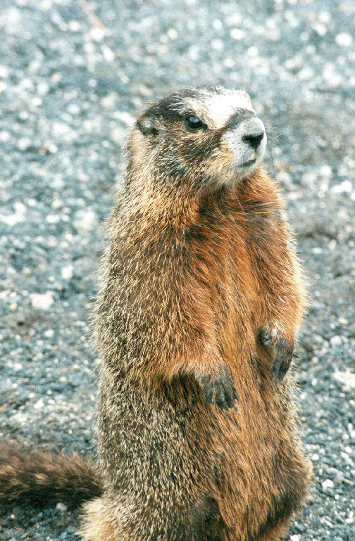 I like to do as much research as possible when going somewhere I have not traveled. It is important to know if there are any endangered animals or plant life in the region, as well as it is important to note any potential dangers. Human presence in such delicate habitats really impacts wildlife and should be given the respect of a little research to make our footprints as little as possible.
No comments:
Post a Comment